You can utilize the measuring tools in GIS to measure distance, area and coordinates of a specific location on the map.
Measure Area
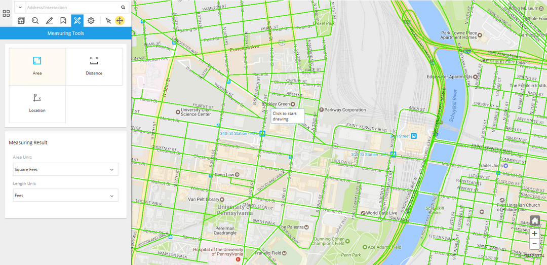
You can click on the Measuring Tools menu and click on the Area tool to start measuring areas on the map.
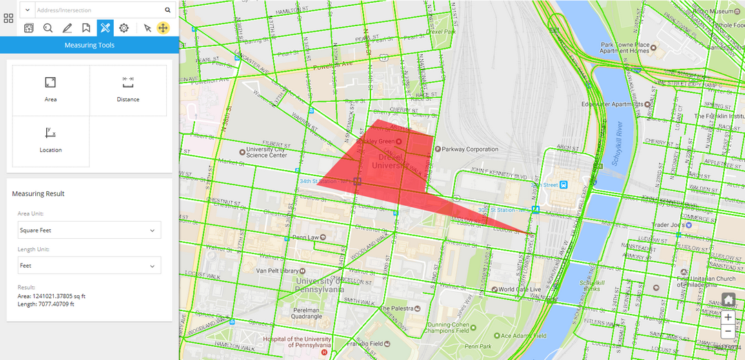
Once you've finished drawing the measuring shape, the result will be shown in the Measuring Result panel.
You can also adjust the Area Unit and Length Unit of the result.
Measure Distance
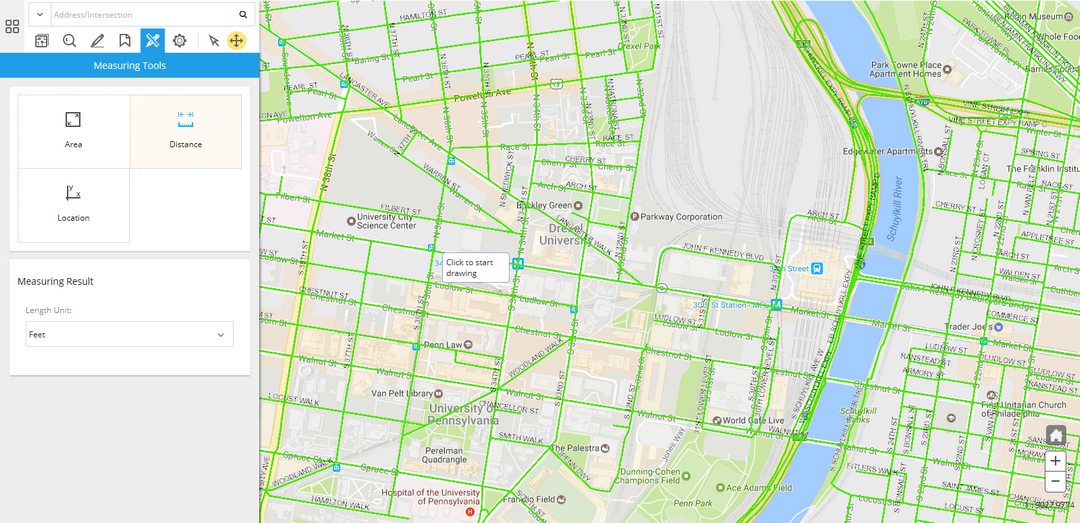
You can click on the Measuring Tools menu and click on the Distance tool to start measuring distance on the map.
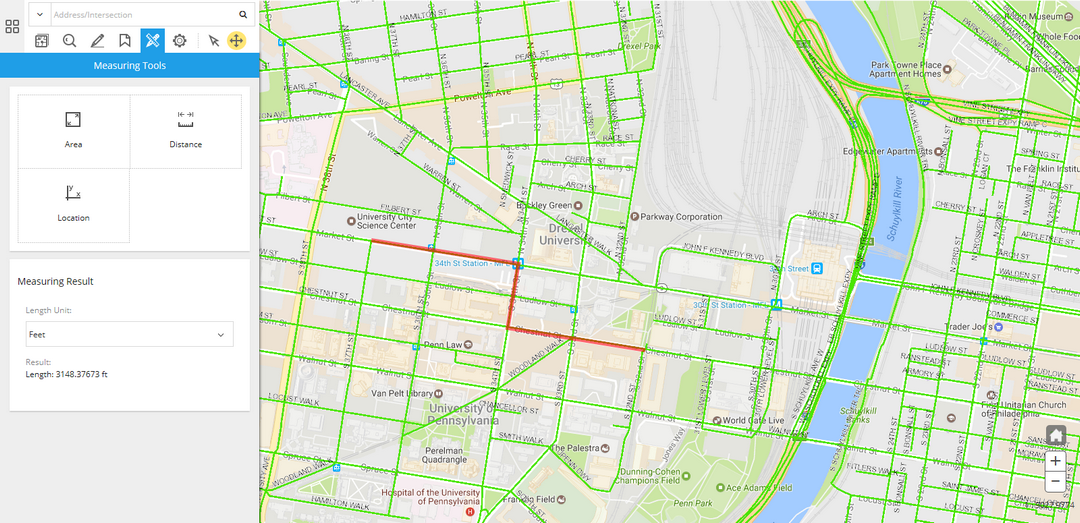
Once you've finished drawing the measuring shape, the result will be shown in the Measuring Result panel.
You can also adjust the Length Unit of the result.
Measure Location
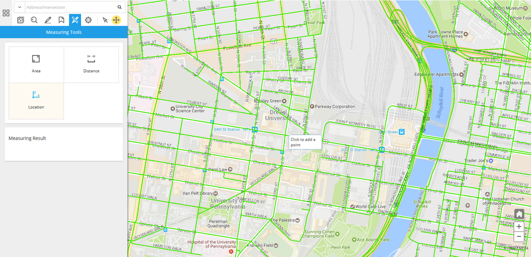
You can click on the Measuring Tools menu and click on the Location tool to start measuring locations on the map.
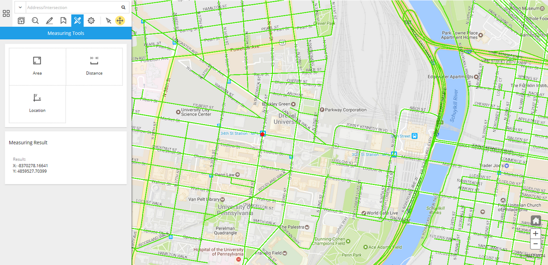
Once you've finished drawing the measuring shape, the result will be shown in the Measuring Result panel.